Moel Mochowgryn
| Alternative names |
Llechowgryn Moel Machowgryn Moel Llechowgryn Mochowgryn |
||||||
|---|---|---|---|---|---|---|---|
| Location | SH806403 (Area map showing location.) | ||||||
| Parish | Llanycil | ||||||
| Geology | Manganese mineralisation occurs associated with minor N–S vertical faults. The host rock is yellowish tuff of the Llyn Conwy formation. [Lynas 1973: 497] Several more or less definite veins of manganese ore as well as irregular stringers. The principal vein is about .3 m wide bearing 353° and dips east at about 80°. The prevailing mineral is psilomelane, with occasional pyrolusite, yielding 43–54% manganese. [Dewey & Bromehead 1915: 54] | ||||||
| Owners |
|
Production and Employment |
|
||||
| Transport | Road to Arenig railway station (2 miles) [Dewey & Dines 1923: 70]. | ||||||
| Remains | Various small workings, trenches and tips. Adit at SH80654030 with open working to north-west. Wheelpit east of the adit mouth. Enlcosures (dressing floors?) and possible remains of buildings between adit mouth and wheelpit. (July 2010) | ||||||

Workings were 30 feet (9m) deep and ~30 feet (9m) long. [Halse 1892: 946]
The site appears on the Merioneth 1890 revision of the 6" map [OS 1st edn: XIII NW (1875–1987)] as “Manganese Works (Disused)” and “Levels”.
Down [1980: 69] gives the location of this mine as SH800406.
 |
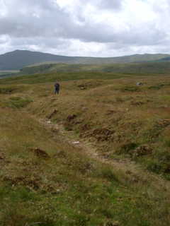
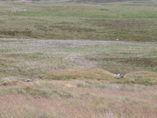
Tips SH80604033 These are associated with what may be a run-in level on roughly the same alignment as the adit lower dwon the hill to the east. |
|
 |
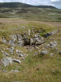
Open Working
|
|
 |
Small Open Working |
|
 |
Open Working |
|
 |
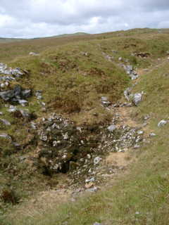
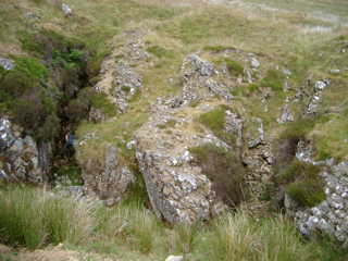
Trench Shallow trench, possibly a trial to expose the country rock. |
|
 |
Small Excavations and Tips |
|
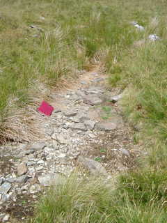 |
Shallow Trench The red notebook used to indicate scale is aproximately 21 cm x 30 cm. |
|
 |
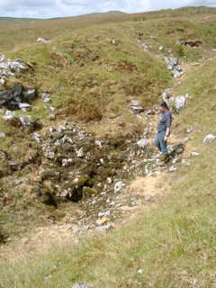
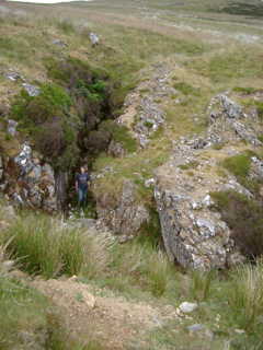
Open Working
SH80634032 Presumed to be the working referred to by Halse [1892: 946] |
|
 |
Open Working |
|
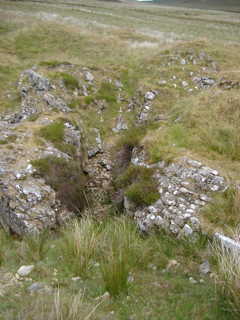 |
Open Working
Note revetment to tip on right hand side of photograph. |
|
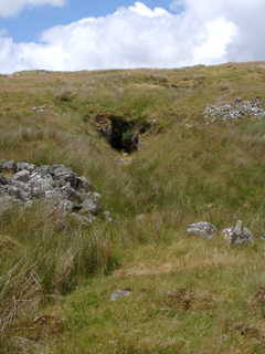 |
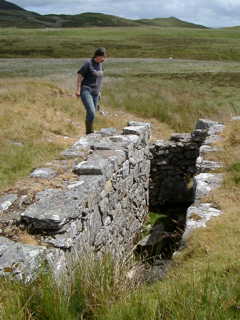
Adit Entrance SH80654030 The adit is aproximately 69 metres to a blind forehead. |
|
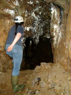 |
Side passage in Adit Small development off adit. There are three such areas of development in the adit, apparently where it intersected veins of manganese ore. |
|
 |
Wheelpit Wheelpit at SH80654030, seen from above adit entrance. The wheelpit is located between two grassed-over tips of presumed waste. Beyond the wheelpit is the valley of the Nant yr Achub. |
|
 |
Wheelpit The wheelpit is aproximately 6 m long x 1 m wide x 2 m deep. The western end of the pit is stepped down and the outlet to the tailrace is at the east end (i.e. towards the river). There is no evidence of holding down bolts on the wheelpit which suggests that the wheel (assuming the pit was ever equiped) was mounted on wooden beams on the tops of the wheelpit sides. There is no obvious leat or other water feed to the wheel and no sign of equipment that might have been driven by it. |
|
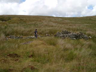 |
North Dressing Floor SH80684030 One of two presumed dressing floors. The area has a low wall on its three sides and the remains of what was possibly a small shelter. |
|
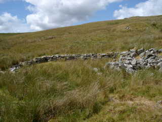 |
South Dressing Floor SH80674028 The second of two presumed dressing floors. The area has a low wall on its three sides and again has the remains of what was possibly a small shelter. |
|
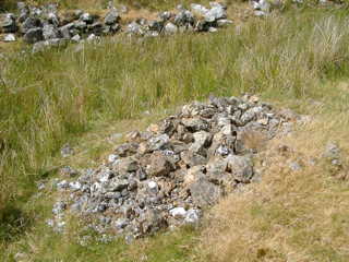 |
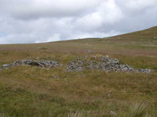
Pile of Waste Pile of waste rock on dressing floor.
|