Foel Wen |    |
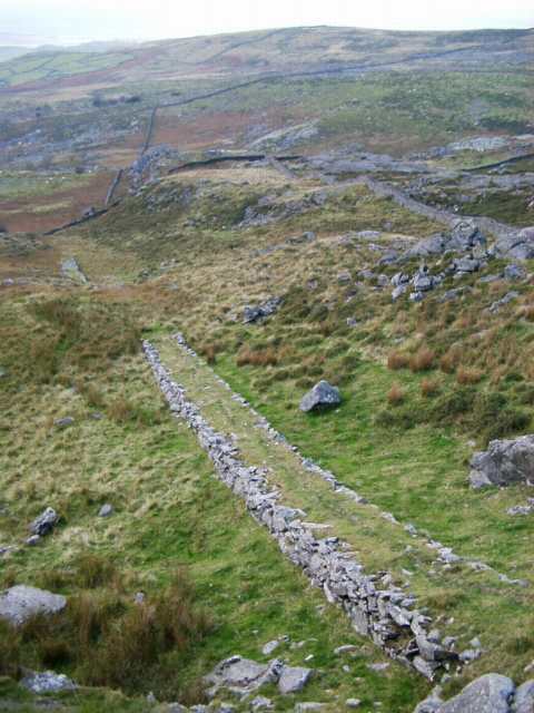
Top incline
Looking down the top incline.
Although the two sections of incline are aligned in plan, the gradient profile is discontinuous. It is not clear if the incline was ever completed. The brow that interrupts the incline does not show any sign of incline formation on it, but appears too soft to have had rails laid directly on it. There are no indications of head-gear above the incline.
From the bottom of this incline a narrow and very lightly constructed drystone causeway suggests the course of a tramway to the top of the bottom incline.
| Front page | Foel Wen main page Index of mines | Area maps: Arenig, Harlech |